Duration: 90 Training Hours
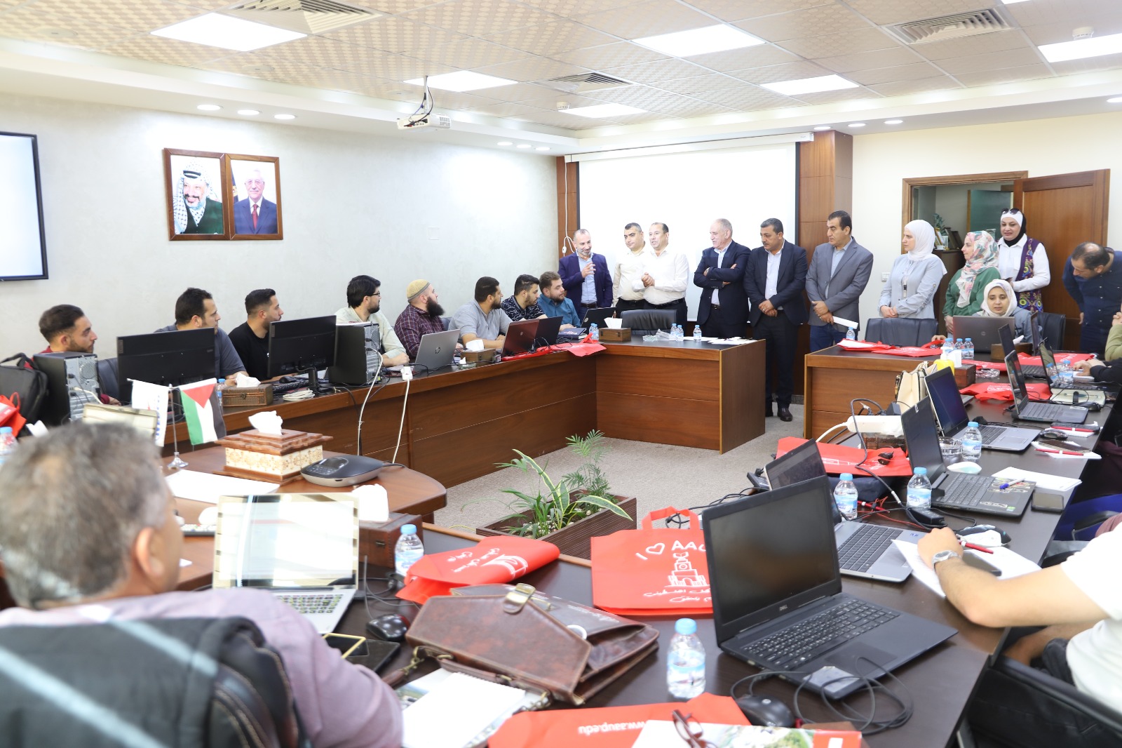
This course introduces students to Geographic Information Systems (GIS) and their applications. It covers how to collect, analyze, and interpret spatial data using GIS software, focusing on mapping and data visualization techniques.


